Last post was about the length of road when you merge the different geometries from the data set together.
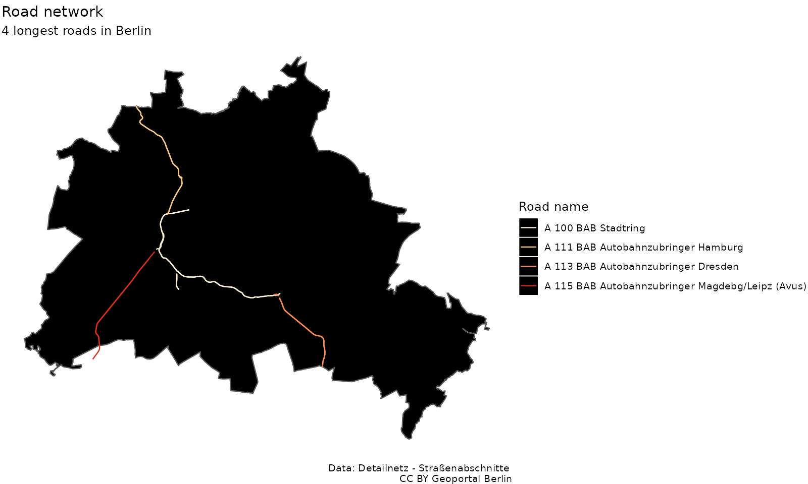
There is still an outlier in the data set, but this time it is 45km long. It is the “A 100 BAB Stadtring”, BAB meaning “Bundesautobahn”, that translates in “Federal Motorway 100”. There a Wikipedia article about it.
Data: CC BY “Geoportal Berlin / Detailnetz Straßenabschnitte”. Plot made with R, sf and ggplot2 (code in the source page as comments).
Two things surprised me. First it is the class of the A100. After researching, I found that some parts of the A100 are classed as “I” and other part as classed as “II”. The other thing that I found surprising, is that the A100 is twice so long as the other 3 highways, but this not seems to be the case on the map. I think this is a result of the digitisation as some parts of the road are drawn separately depending on the direction, making it longer.
Take away: It is not easy to analyse this dataset!